


The study out of Virginia Tech reveals how rainfall data choices can make or break insurance payouts for farmers and ranchers.
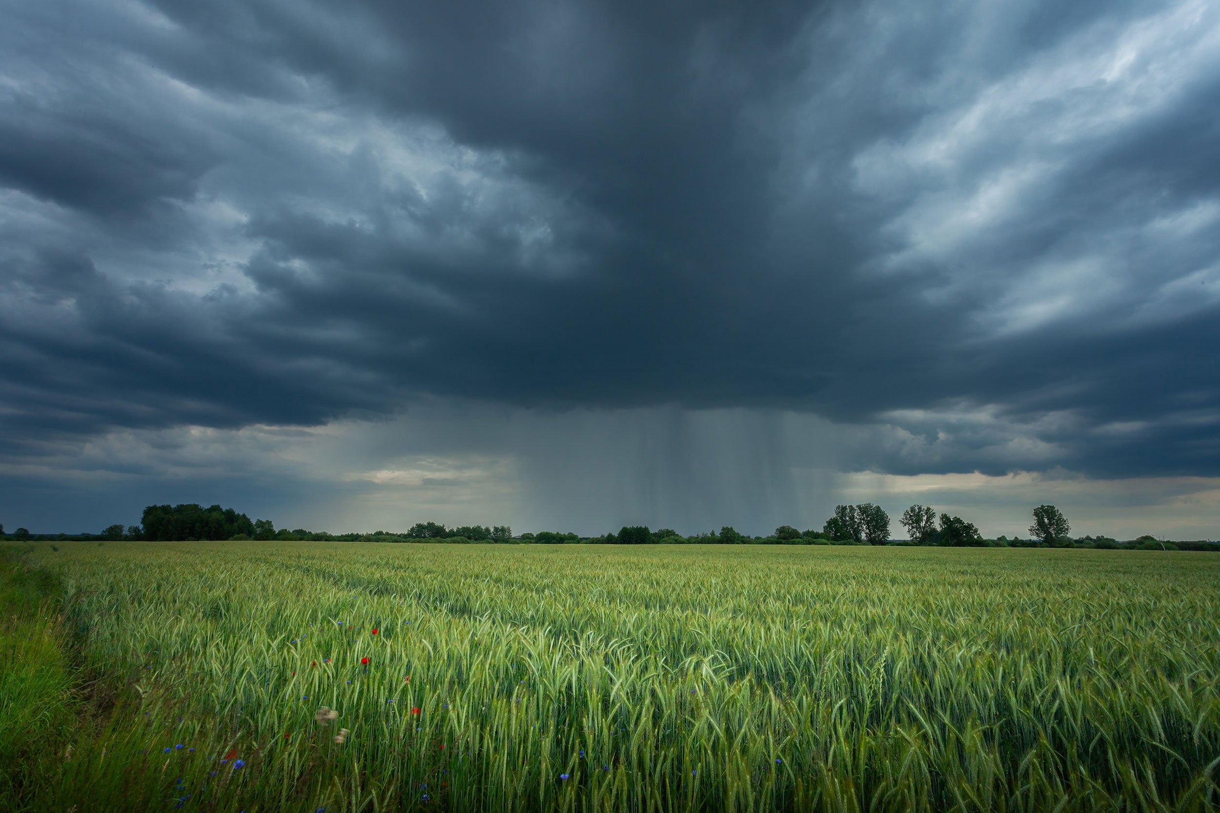
Somewhere in the vast open stretches of American pastures, a farmer watches storm clouds roll across the horizon. A few miles away, rain pours down, but the farm remains bone dry.
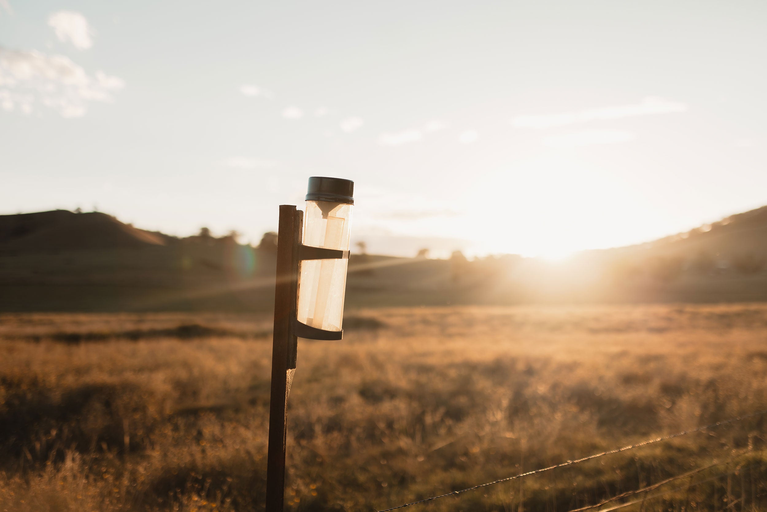
Weeks later, the farmer will not receive a payout from the farm’s rainfall index insurance policy, even though its harvest was well below average. Why? Because the average rainfall for the farmer’s grid — an area 17 by 17 miles defined in a national rainfall dataset — was deemed high enough that no insurance trigger was met.
Published in September in Agricultural and Resource Economics Review, a new Virginia Tech study explores how two key decisions — the rainfall dataset used and the size of the area grid — can significantly affect producers’ insurance outcomes.
The researchers focused on Texas, which has the most producers enrolled in the U.S. Department of Agriculture’s Pasture, Rangeland, and Forage Rainfall Index program — a weather-based insurance plan that pays farmers and ranchers when rainfall is lower than historical values.
The team found that simply switching the rainfall dataset used to calculate payouts can shift payout values dramatically. Additionally, the choice of grid size can mean the difference between a check in the mail or nothing at all for farmers affected.
“Think of the grid like a giant rain gauge,” said Elinor Benami, assistant professor in the Department of Agricultural and Applied Economics and co-lead of agricultural insurance at NASA Harvest. “The bigger the grid, the less likely it is to reflect what’s happening in your own fields.”

If rainfall is uneven across that large grid, an individual farmer’s dry conditions might be masked by heavier rain elsewhere, effectively erasing losses from the insurance calculation.
Smaller grids can better capture localized weather events. However, as grid sizes decrease, reliance on modeled estimates rather than direct measurements also increases, introducing new uncertainties.
“Finer-scale data might better reflect a farmer’s experience, but it also carries some risk of error as well,” said Ramaraja Ramanujan, who worked on the study as a graduate research assistant in the Department of Computer Science.
Even when two datasets claim to measure the same phenomenon, such as rainfall, they can tell very different stories. When insurance payouts are tied to these stories, the impact on farmers is real — switching the dataset used was found to alter simulated payout amounts by as much as 40 percent. The team identified where those measurements line up as well as where alternative approaches and datasets may be worth considering.
A fairer future for rainfall insurance
The team’s goal is to make rainfall insurance fairer to producers and more accurate by ensuring the system reflects what producers actually experience. According to the researchers, this could involve:
- Using smaller grids where practical
- Blending rainfall data with other indicators, such as vegetation health or soil moisture
- Improving communication with producers, so they understand how their insurance works and why payouts happen — or don’t
The Pasture, Rangeland, and Forage Rainfall Index Insurance program has grown steadily each year, having issued almost $9 billion in payouts to date. It’s now the largest risk management program in the Federal Crop Insurance Program portfolio by area – not surprising given that 35 percent of U.S. land area is estimated to be grassland pasture, cropland pasture, or grazed forest, according to the study. As a result, the team doesn’t expect major changes to its current structure. When the program first launched, the USDA also tested a vegetation index-based alternative, but it was eventually canceled from poor alignment with real-world conditions and low enrollment.
“Even producers who enroll in the program express disappointment that it doesn’t always match their forage loss experience,” said Jennifer Ifft, an agricultural policy Extension specialist at Kansas State University who works closely with both producers and insurers on these challenges.
At the policy level, investing in targeted ground-data collection also could be highly beneficial. Satellite products, while useful, still depend on ground data for calibration. Collecting more data in areas with high uncertainty could help evaluate how well the current indicators reflect producers’ real experiences and identify where improvements are needed.
“A key area for future research is exploring how additional tools, such as better measures of vegetation health, soil moisture, drought, or combined indicators, might reduce mismatches between payouts and real losses while keeping the system simple and scalable,” said Michael J. Cecil, postdoctoral associate at the University of Maryland and NASA Harvest who co-authored the study.
This need is also reflected in the team’s ongoing efforts. The researchers have a USDA National Institute of Food and Agriculture, Agriculture and Food Research Initiative proposal currently under administrative review, aimed at expanding this line of research and helping build a stronger, more responsive insurance system for the ag industry in Virginia and beyond.
The article was originally published on Virginia Tech’s news and research website. It is republished here with permission.


